Modern public safety apps
GeoSafe helps agencies respond faster to 911‑calls
Powering emergency services for towns, counties, and statewide agencies
-
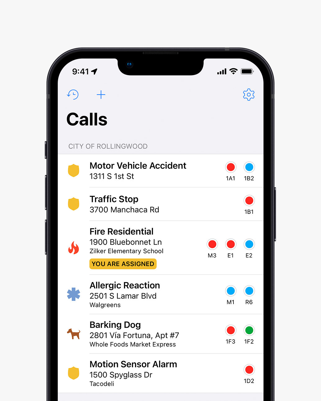
CAD integration
View live
updating 911-call
information direct from your CAD system
-
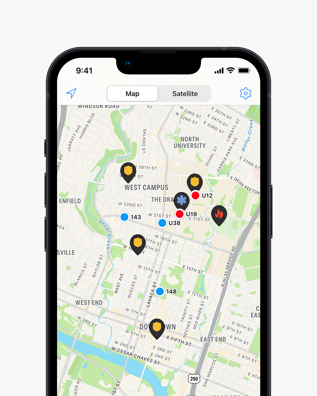
GPS tracking
Locate all
units with live
GPS tracking. Color-coded units show who is busy, en route, or available.
-
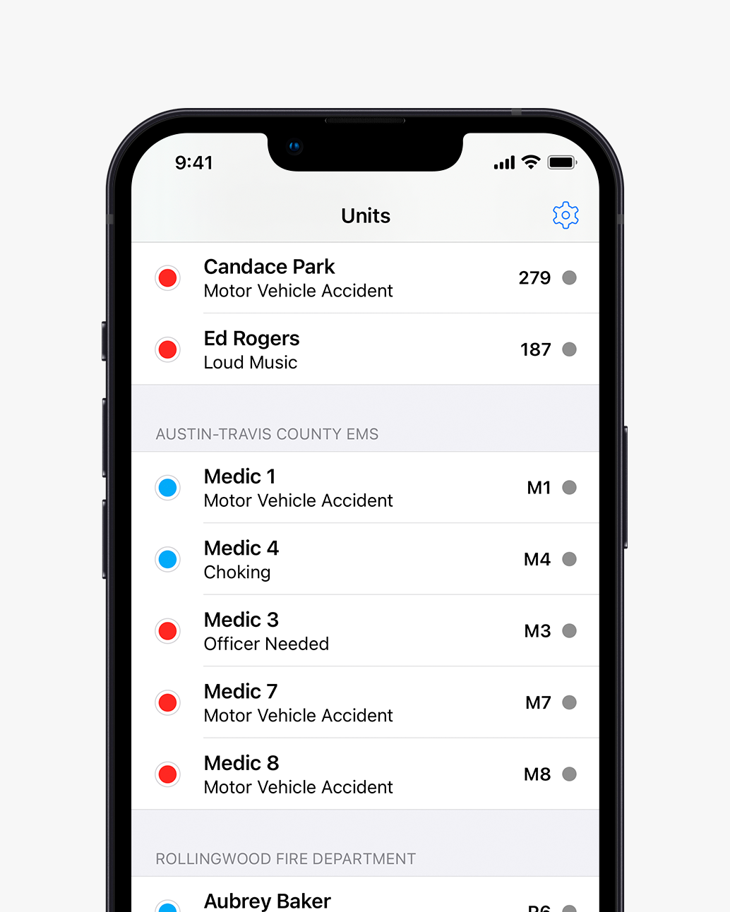
Interoperability
Seamlessly
share data between
multiple agencies
-
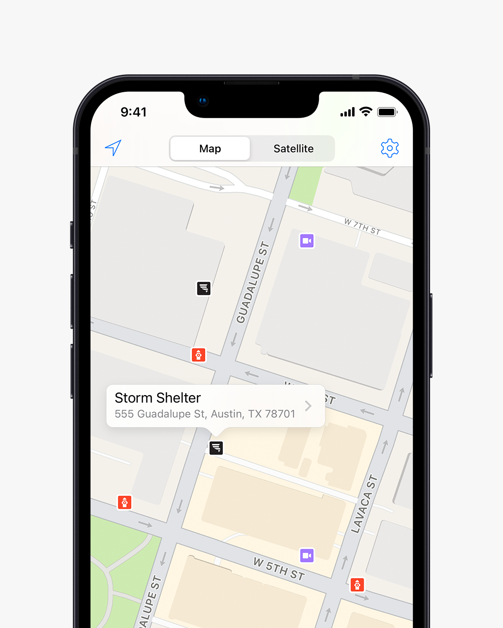
Customizable map layers
Import
hydrants, storm
shelters, points of interest, boundaries, and more
-
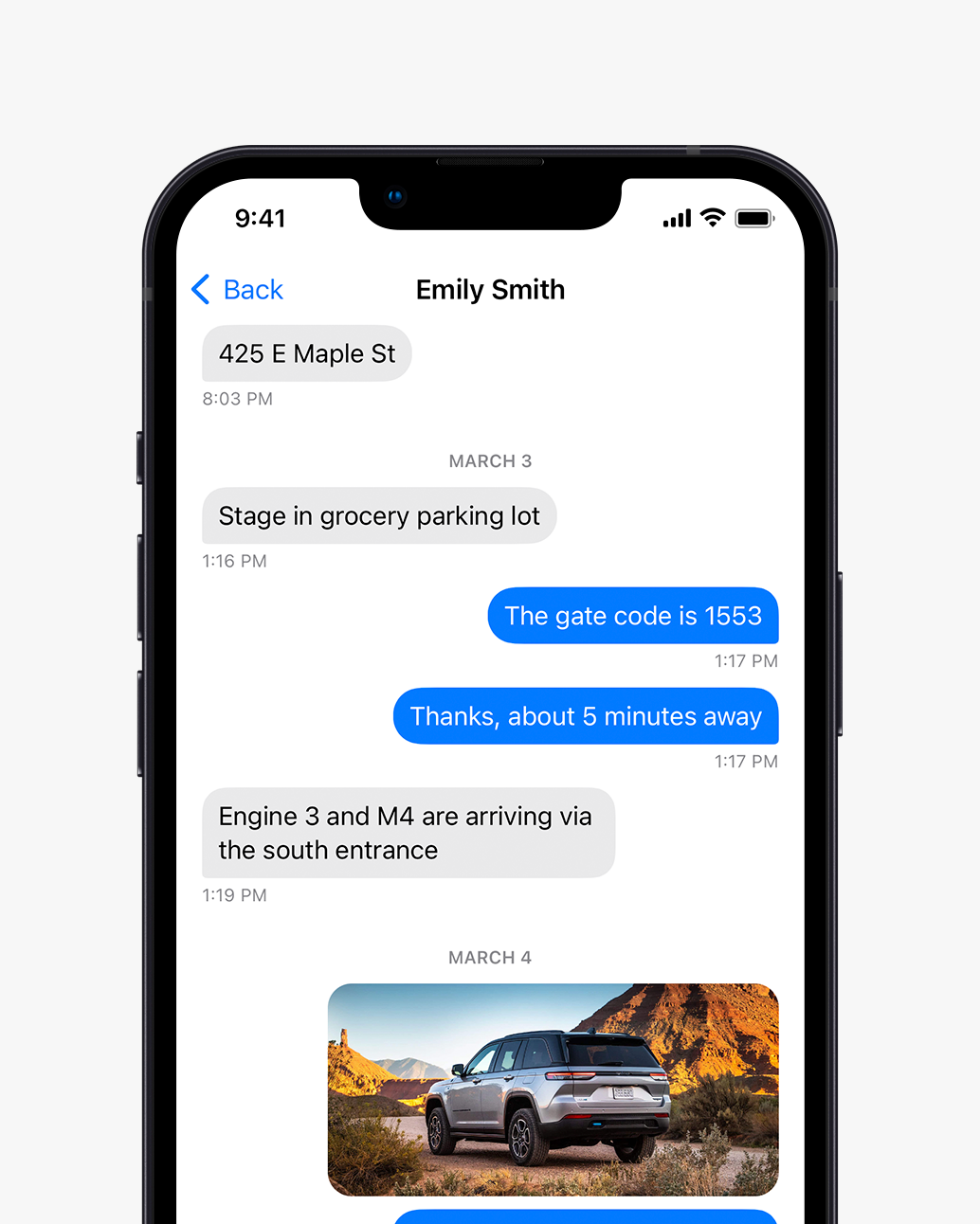
Chat
Receive a
text message when
your unit gets assigned to a call
-
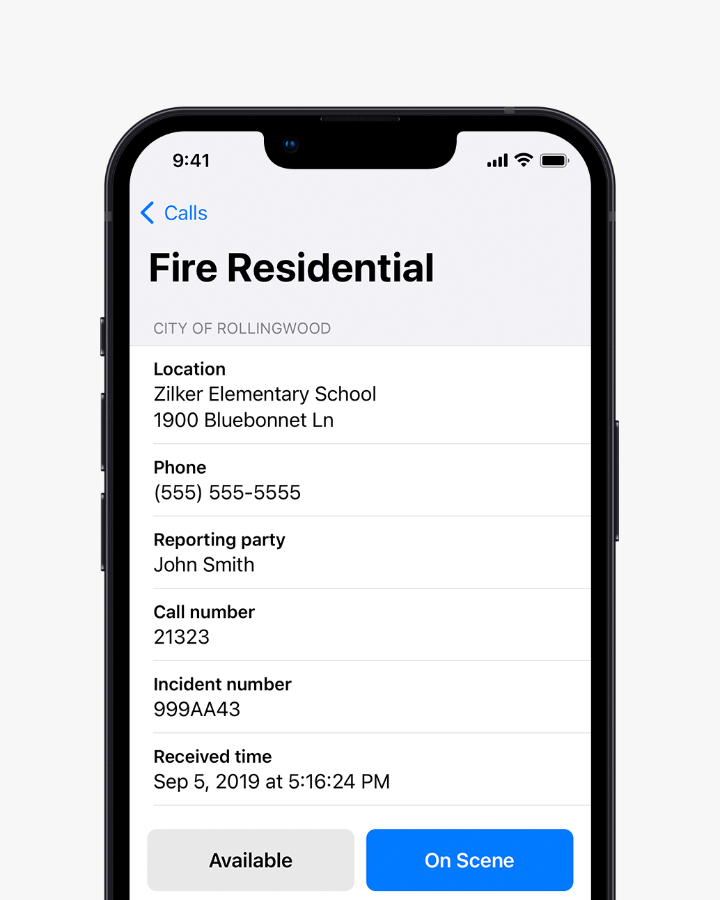
Timestamping
Mark
yourself enroute or on
scene to a call and your status is automatically updated in CAD
Citations
District, municipal, and tribal
tickets issued in
seconds
-
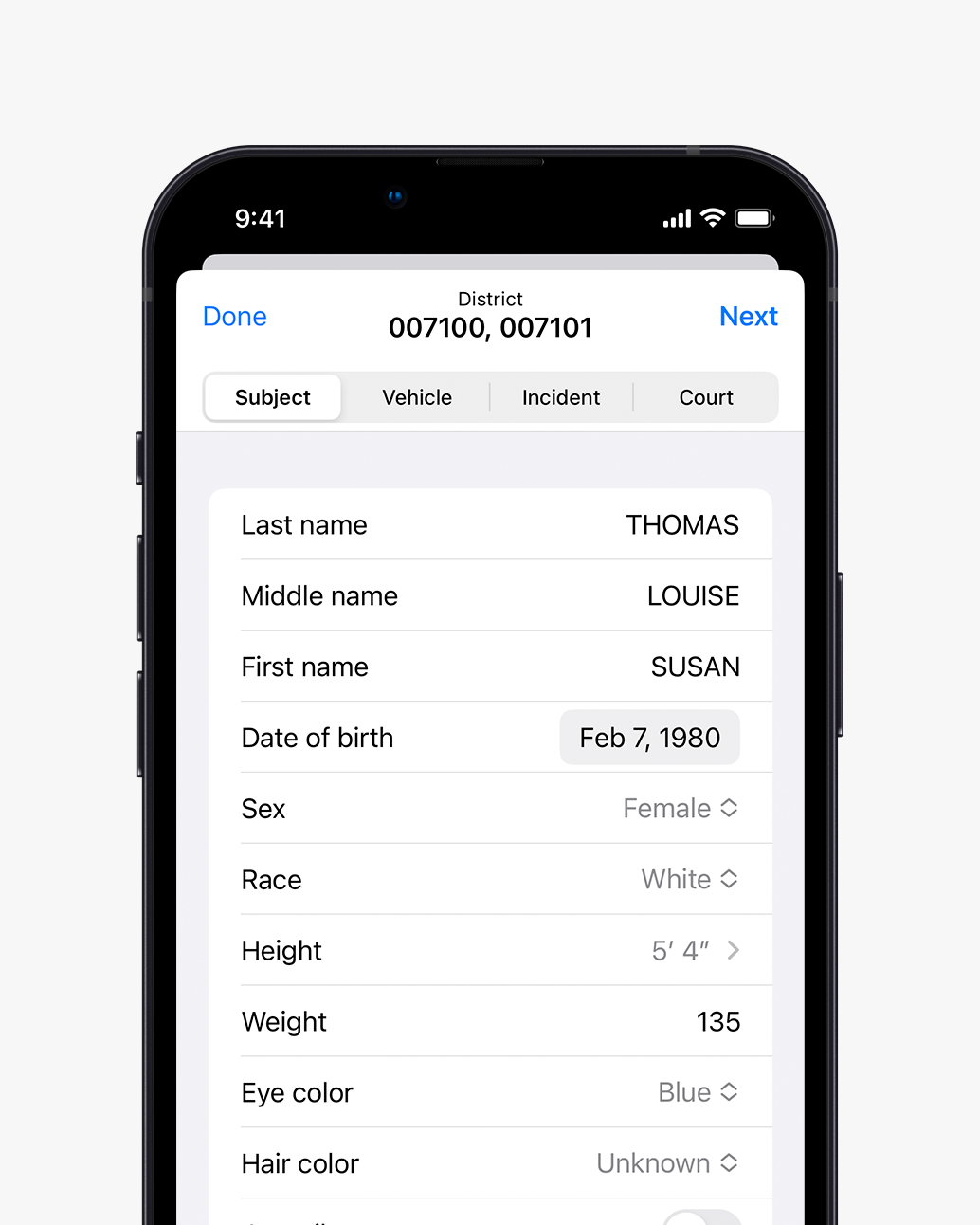
AutoFill
Populate
from NCIC results or by scanning a driver license/VIN barcode
-
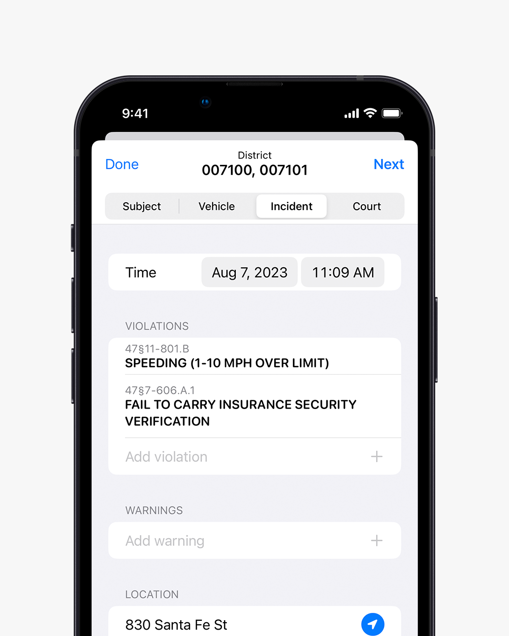
Multiple violations
Quickly
add multiple violations and warnings to the same citation
-
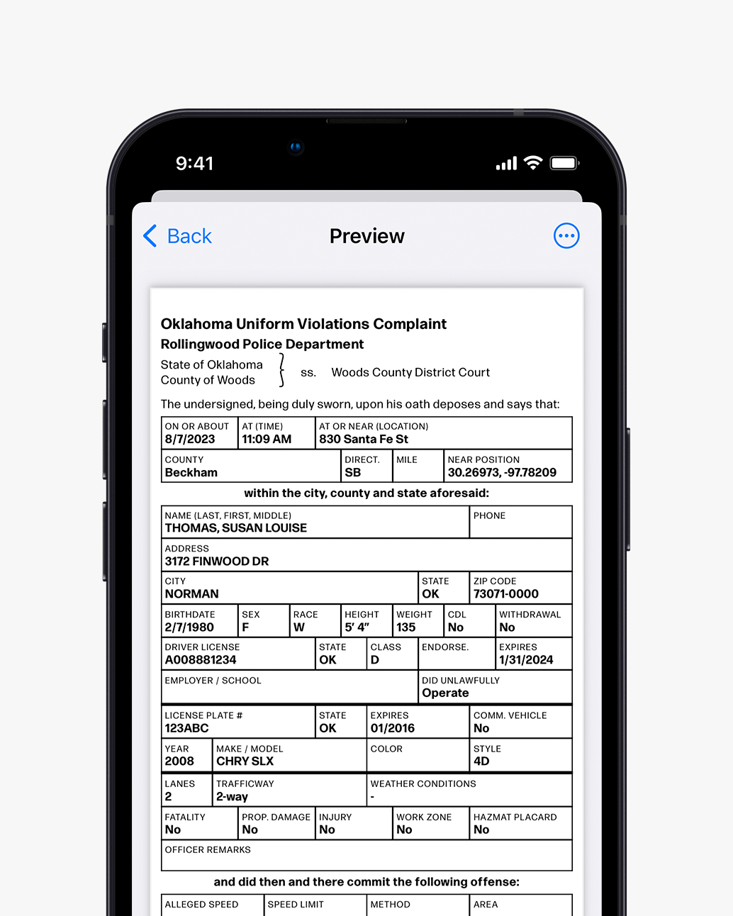
Preview
See
exactly how your citation will look before printing
Query
Search national, state and local crime
databases
for vehicles, subjects and articles
-
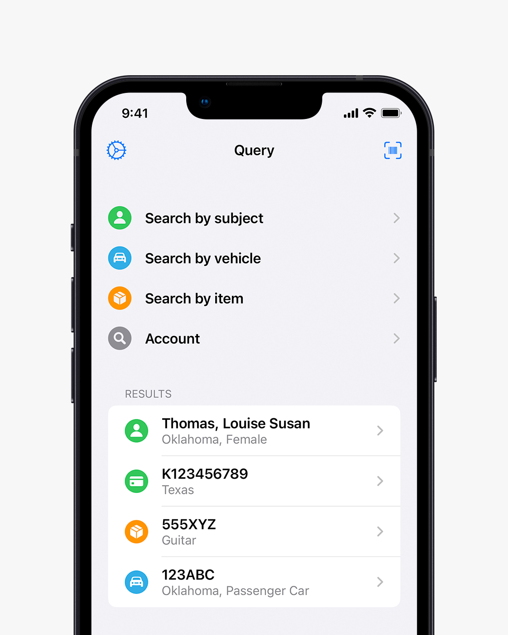
Easy database search
Powerful
yet intuitive forms let officers search for items with ease
-
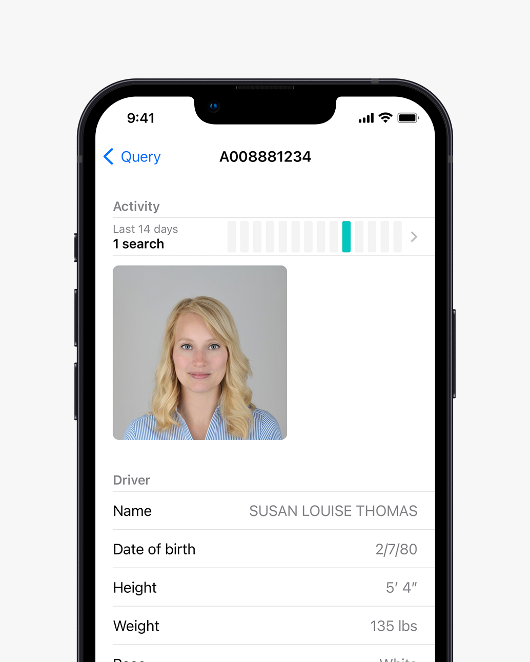
Parsed responses
Increase
officer safety with easy-to-read parsed responses from legacy state systems
-
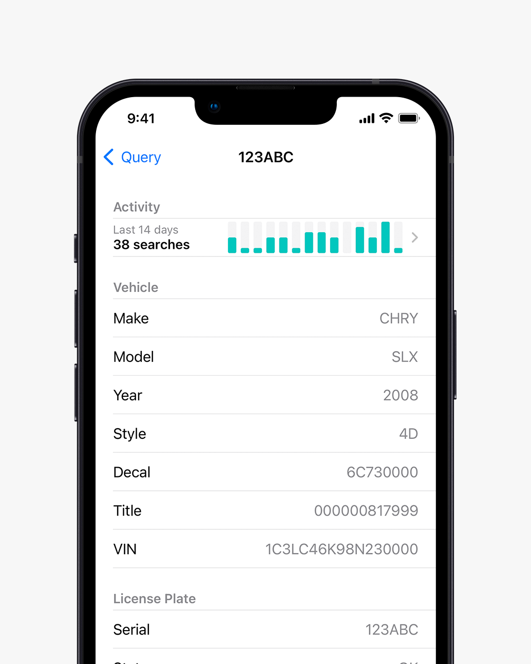
Activity statistics
See what
other agencies have searched for the same subject or vehicle


 CAD integrationView live updating 911-call information direct from your CAD system
 GPS trackingLocate all units with live GPS tracking. Color-coded units show who is busy, en route, or available.
 InteroperabilitySeamlessly share data between multiple agencies
 Customizable map layersImport hydrants, storm shelters, points of interest, boundaries, and more
 ChatReceive a text message when your unit gets assigned to a call
 TimestampingMark yourself enroute or on scene to a call and your status is automatically updated in CAD
 AutoFillPopulate from NCIC results or by scanning a driver license/VIN barcode
 Multiple violationsQuickly add multiple violations and warnings to the same citation
 PreviewSee exactly how your citation will look before printing
 Easy database searchPowerful yet intuitive forms let officers search for items with ease
 Parsed responsesIncrease officer safety with easy-to-read parsed responses from legacy state systems
 Activity statisticsSee what other agencies have searched for the same subject or vehicle